There are plenty of pain points with traditional manual inspections. From power lines and critical infrastructure to commercial and residential roofs, maintenance crews have long faced similar challenges.
Many of these revolve around three familiar themes: speed, cost, and safety.
If we take a moment to reduce these varied inspections down to the purpose they have in common, we’re left with the need to gather data. Doing that while prioritizing precision, speed, and safety has traditionally led to trade-offs.
However, that assumption has shifted with the rise of advanced sensors, drone technology, and aerial data. Now, almost any type of inspection, from roof and facade inspections, to wind turbine and solar panel inspections, can utilize data from above. The result is transformative: property managers and infrastructure inspection crews no longer have to make sacrifices to get the information they need, when they need it.
As we’ll see, aerial imagery offers wide-ranging benefits. Below are some of the many ways that aerial data speeding up and simplifying the inspection process.
Reducing Reliance on Manual Methods
If you want to speed up the process of gathering inspection data, you can streamline by reducing wasted time in key segments of the process or find a way to make the whole process move more efficiently. For example, through automation. In most cases, aerial data approaches this equation from both angles.
Starting with the obvious: inspection teams can’t fly. They often need ladders, ropes, and possibly more to get the information they need. Doing this safely takes time - almost all of which can be saved by using aerial imagery for part or all of the visual inspection.
The same goes for visual inspections that require simply walking a property. Aerial inspection methods can cover more ground and provide a more efficient way to collect consistently accurate data. The reduction of timely manual processes is one of the most obvious ways to simplify inspections. The natural next step is to embrace the capacity to automate workflows completely, from data gathering to analysis.
Automating Workflows
Collecting aerial data is just one step to improving the traditional inspection process. Taking things further can lead to large productivity gains - whether you’re carrying out regular overviews of a construction site or incorporating aerial data into scheduled maintenance operations.
Gathering accurate data consistently is one step in the right direction. Coupling it with powerful analytics software such as the Insights Wind or Insights Solar Platform is the next step, and provides organizations a better means to achieve more effective asset management that combines data collection, processing, collaboration, and reporting in one solution.
With flights across preset waypoints, aerial inspection methods carry out repeatable operations over time. The historical data can be useful for progress tracking, comparing the condition of structures from past to present, and a better understanding of the overall health of the asset.
Better Data and Actionable Insights
There’s plenty of talk about the way aerial inspections can save time and money compared to traditional inspection methods. But less discussed is the quality of data that can be gathered and how significant an impact that can make.
That starts with high-resolution imagery and videos, which take subjectivity out of the equation and - thanks to the maneuverability of drone technology and advanced sensors - can get close enough to see all the details you need when inspecting a structure.
Additionally, the quality of drone data is growing all the time. Advances in thermal imaging and LiDAR - particularly in terms of the portability of both sensors - now mean that drones and manned aircraft with mounted sensors can gather highly granular data that would otherwise be invisible to the human eye.
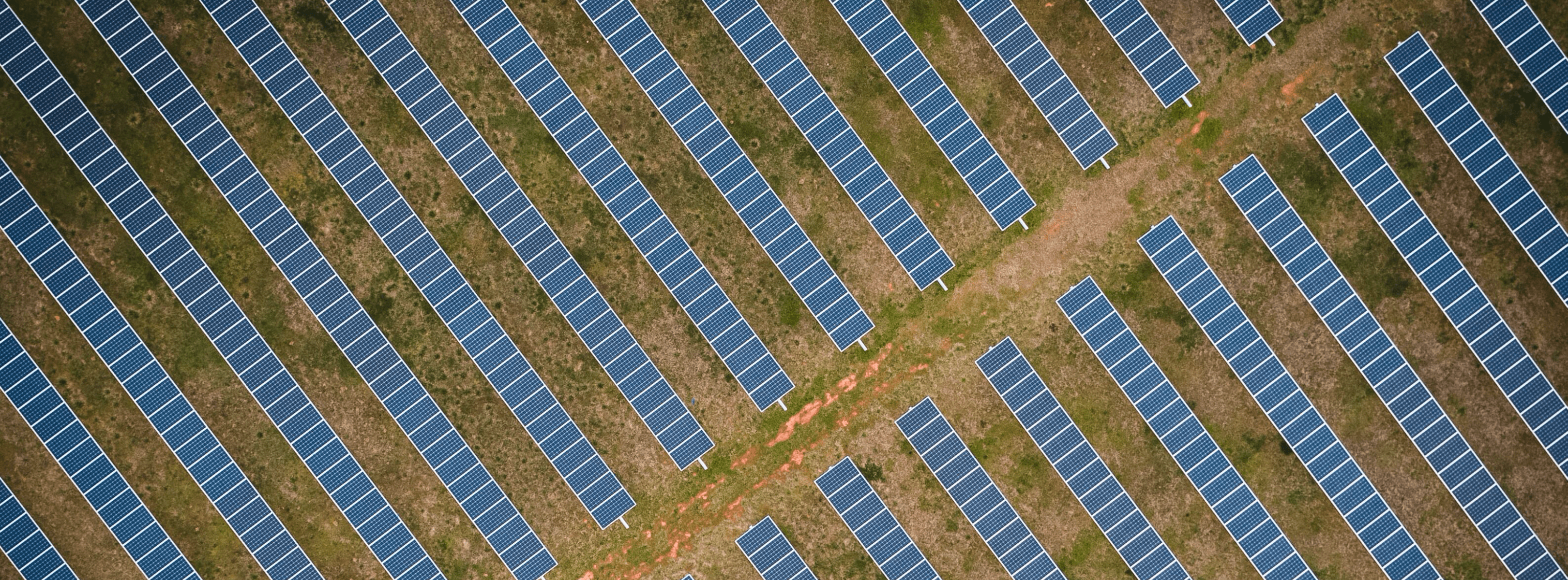
From checking power lines with LiDAR to assessing the integrity of roof membranes or solar farms with thermal sensors, aerial technology can enhance your inspection processes by helping you integrate more robust data into your workflows.
With ever-improving sensors and aerial technology, the ability to identify patterns, recognize anomalies, and provide accurate analysis through aerial data has never been better. DroneBase Insights Roof Reports, and the Insights Platforms for Solar & Wind, are just a few examples of DroneBase technology utilizing aerial data to provide key stakeholders with actionable insights.
To find out more about how your business can benefit from integrating aerial data into your workflows to simplify inspections, visit the technology page.