Technically Spring is already here, but the idyllic seasonal weather is still only approaching. This prospect has people of all walks of life excited about Summer and a respite from seasonal doldrums.
What is extra special is when the sun shines on both your leisure time and your work. For drone pilots, aerial imagery enthusiasts, and businesses utilizing drone imagery, the Spring and Summer months also mean a chance at capturing some amazing footage.
But not all drone flights are created equal.
For those trying to break into drone piloting and aerial photography full time, it is vital to build a hefty portfolio of quality imaging. A good way to do so is by leveraging gorgeous weather days to highlight some of mother nature’s finest work for shoot locations.
Here is our list of the best places to shoot this spring by regions. Be sure to consult with local laws wherever you fly, as many scenic areas are nationally protected and laws vary throughout the US.

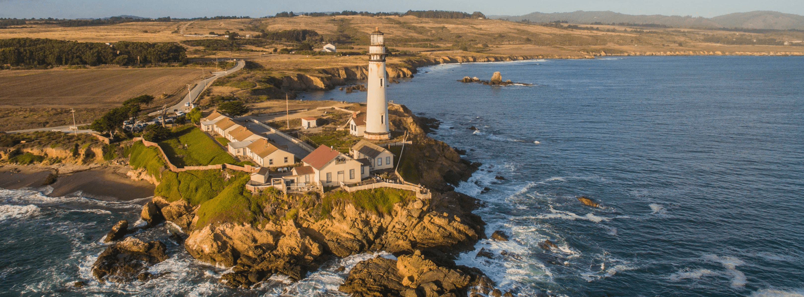
The North East
New England’s coastline is littered with historic old lighthouses along rock and shell beaches begging to be recorded. If you are from the area, pack up the car for a weekend trip from Maine to Long Island Sound and hit the big three along the way.
Seguin Island Light: Popham, ME
Gay Head Light: Aquinnah, MA
Stonington Harbor Light: Stonington Point, CT
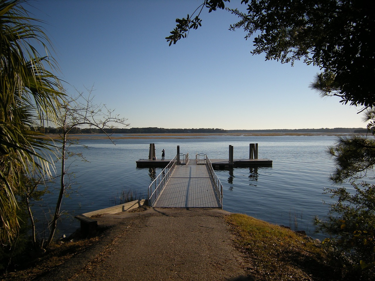
South East
Bluffton, SC has a ton of Civil War history! The town is home to among the most pre-war buildings of any in the South which makes it an awesome time period site. The oyster factory and original storefronts along the main drag just add to this charm.
The Midwest
The Silver Spray shipwreck ran aground just off the shore of Chicago in 1914. These days only a small portion can be seen above the water, but when the sun is shining over the water, the rest of the liner’s form is exposed for your drone to explore.
Pacific Northwest
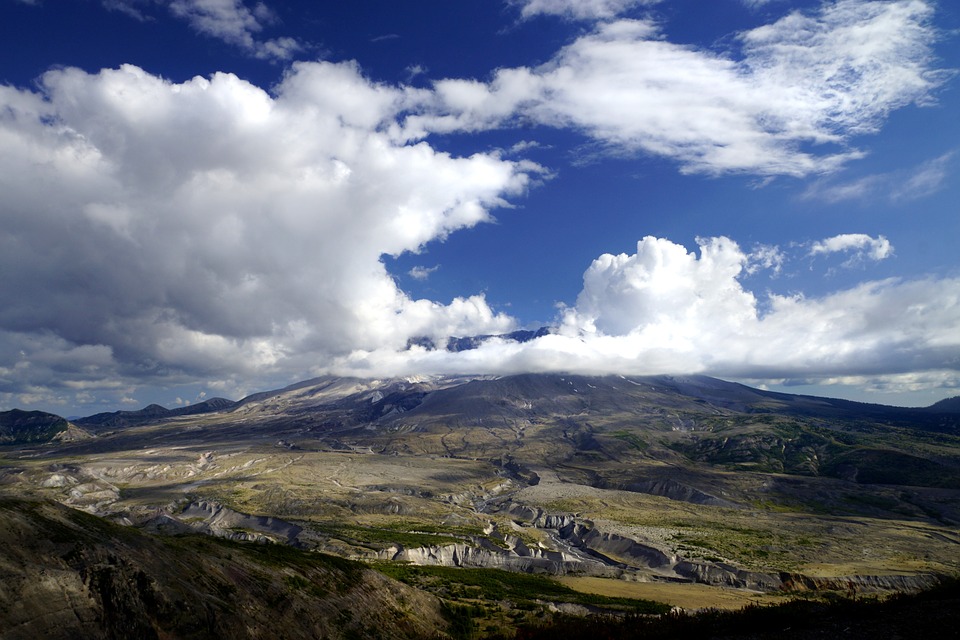
Council Crest Park is believed to be the highest point in the Portland area, with views from over 1000 feet above sea level.
Originally used by indigenous peoples of the area for signal fires, Council Crest provides drone access to five visible peaks, including Mt. St. Helen, not to mention unobstructed views of scenic Portland and the surrounding areas.

South West
On the topic of land formations that predate human beings, there is the Winslow Meteor Crater.
This mile-wide crater is a small scar left on the face of Arizona from a meteor shower tens of thousands of years ago. Because it is so vast, it is difficult to get a sense of what it truly is, until you zoom out, flying high above with your drone to show the cosmic imprint more clearly.
Have your own favorite flight destinations that you'd like to share? Let us and your fellow pilots know in the comments below!